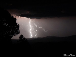
Big Bear Valley, CA, August 30, 2012 – A moist, southerly monsoon flow has once again returned to southern California, for our typical afternoon showers and thunderstorms expected through Friday, with more moisture possible over the holiday weekend and into next week. This has been an unseasonably wet summer monsoon season, and the most consistently active our area has seen in over 20 years, with some areas of the Big Bear Valley already 300% of our normal rainfall thus far for the season, which began back on July 1st. However, as is common with our summer thundershowers, rainfall totals have been quite variable throughout the valley, with the eastern portions of town, such as Big Bear City & Moonridge, to Sugarloaf, Lake Williams & Baldwin Lake, all having received 5-6 inches of rain over the past 2 months, with lesser amounts westward, like Fawnskin with just under 2 and a quarter inches of rain for the season. As we move towards fall, high pressure which has been anchored over the four corners and responsible for our very active monsoon pattern this summer, will begin break down as low pressure starts to develop more frequently along the west coast with the jet stream also beginning its progressive shift to the south. Looking further ahead and our winter outlook, nearly all the dynamic forecast models favor the onset of a weak to moderate El Niño, which would statistically mean for us, near to slightly above normal temperatures and above normal precipitation through the upcoming winter season; normal being just under 22 inches of rain and 62 inches of snow. So after what’s been one of our wettest summers in decades, may only be the beginnings of what could be a prolonged, wet period for southern California & the Big Bear Valley.


